Location and geography
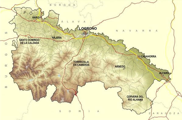
With an area of just over 5000 km2, La Rioja is the smallest of the autonomous regions. The River Ebro acts as a natural boundary with Álava and Navarra to the north. The southern boundary comprises the mountain ranges of la Demanda and Cebollera, with peaks of over 2000m.

The sources of seven rivers which flow into the Ebro are born in these and other peaks of the south, forming seven valleys of outstanding beauty. River Oja, to the west, gives its name to the region.
Maps
Even though nowadays almost everybody owns a GPS, a map can always come in handy. Here we provide you with a few downloadable PDF maps that you will find useful.
If you need more specific maps, you can visit the Geographical information system of La Rioja Government.
Places to visit
La Rioja offers many places to see and enjoy but if you’re looking for the most important things to do, the things that just can’t be missed, anyone who has been to La Rioja will tell you there’s nothing as wonderful as:
- Walking around Logroño’s old town
- Eating pinchos (tapas) in Laurel Street
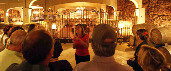
- Visiting a winery

You can also find suggestions in the articles published in our blog.
Transport
- Agoncillo Airport: 16km from Logroño. There is usually only one return flight to Madrid.
- Train: Crossing the north of La Rioja from east to west, it follows the course of the River Ebro.
- Bus to get around La Rioja
Additional information
You will find all the tourist information about La Rioja in the official website www.lariojaturismo.org.